Monday, December 7th of 2015, the provincial Carchi government made history by creating the an unprecedented reserve of cloud forest and mountains on the Pacific slope of the Andes, covering a total of 16,800 hectares. We have been sitting on the edge of our seats waiting to receive the final word, but finally, on December 14, 2015, we have the physical Acta de la Session (legal council documents), signed, sealed, and now irrevocable!
The road to this reserve— “Area de Conservacion y Uso Sustentable Provincial a la Cordillera Oriental del Carchi”— has carried so many stops and sights since we began down the path fourteen years ago that we needed the papers in hand before we dare announce victory.
The story begins with the Rapid Biological Inventory in the Serranias Cofan that we conducted with the Field Museum of Chicago in 2001. That project brought us to some of the wildest and most pristine country left on the face of the earth as we sampled the biological richness of the montane and cloud forest habitats in the headwaters of the Aguarico, San Miguel, and Mira rivers. During that three week trip, our goal was to inventory the biodiversity of Cofan territories in the Amazon drainage of the Sucumbios Province but we quickly became aware that a much larger region— beyond the scope of the Cofan territory— was vital to conserving this biodiversity.
Subsequent work led to the creation of the Reserva Ecologica Cofan Bermejo, protecting 55,000 hectares (about 125,000 acres), the legalization of the Territorio Rio Cofanes under the Cofan Nation’s name, with an additional 35,000 hectares (75,000 acres), and, in 2009, the creation of a completely new model with 70,000 hectares (155,000 acres) as a municipal reserve, the Reserva Municipal La Bonita. While these reserves had successfully created conservation areas spanning most of the headwaters of the Aguarico and part of the San Miguel—tributaries of the Amazon River— we still lacked protection over the critical area on the other side of the continental divide, where the Pacific watershed of the Mira river begins.
To visualize the landscape, imagine a huge set of mountains, highland paramos (Andean grasslands), and cloud forests, divided rather arbitrarily by the highest points of the terrain. There is not a single “ridge” forming the continental divide. Despite their best attempts, map-makers cannot accurately anticipate which way precipitation will flow. Warm air coming in from the Amazon cools as it hits the mountain barrier, and dumps its moisture in industrial quantities over the region, with little regard for which side of the continental divide it is wetting down. This heavy condensation results in rivers pouring out of the high elevation, some headed back eastward via the Amazon drainage and others going westward toward the Pacific. The rivers going toward the Pacific are the most economically important at the moment, as they provide water both for urban centers and agriculture in the fertile inter-Andean valleys, and then continue their runs down across the coastal plains and on into the Pacific.
But agricultural expansion and lumber and mining interests have been steadily eroding the forests on the western slopes, until there are very few intact forests left. However, a key asset in our pursuit of conservation was the general awareness that the water coming down the hill was correlated with intact forests. This understanding brought unexpected allies, ranging from urban politicians concerned for their city’s water supplies, to sugar plantation owners watching their irrigation water dwindling, to small scale tomato and onion farmers waiting for rains that aren’t coming as frequently any more.
By 2011, ten years after we began planning the reserve, we had almost universal endorsement of the reserve. In 2014 we rallied a coalition of long-time supporters and collaborators including The John D. and Catherine T. MacArthur Foundation, the Hamill Family Foundation, and Naturaleza Y Cultura International to make this reserve a reality.
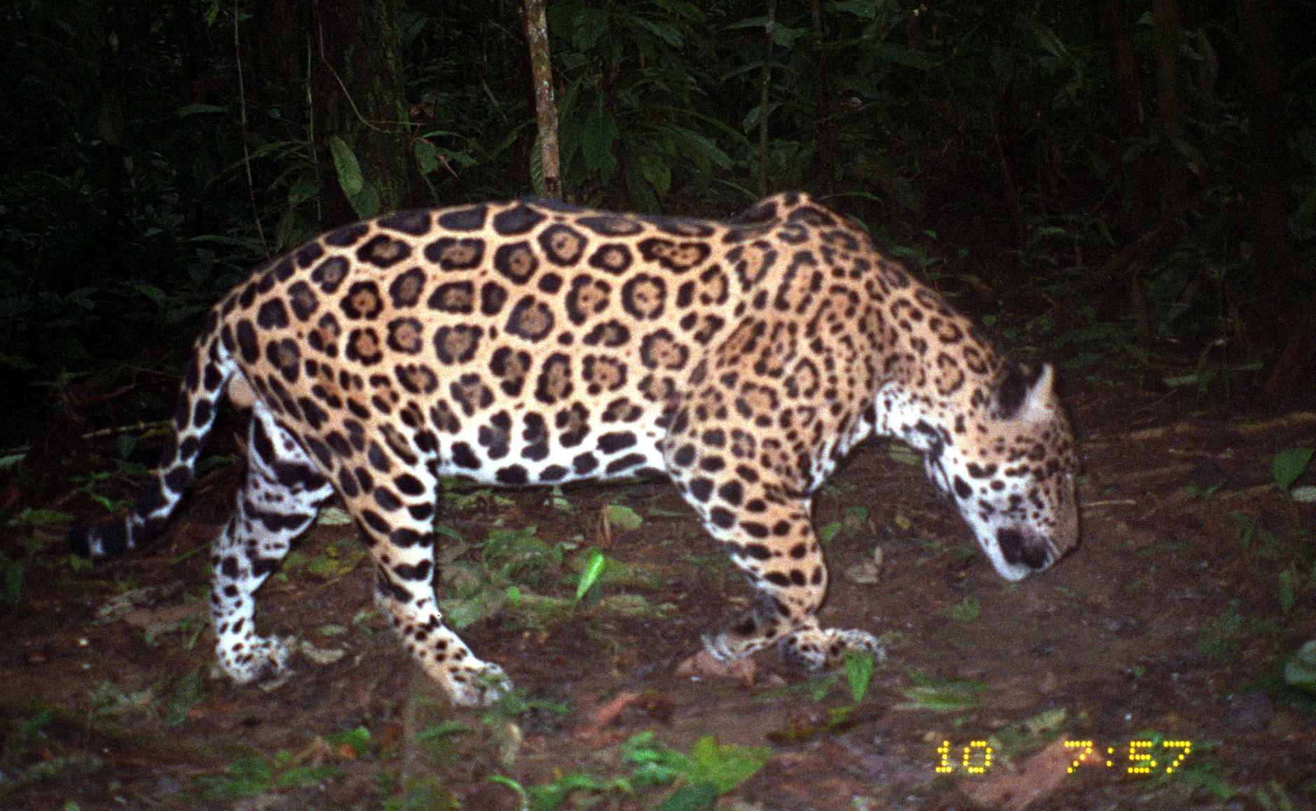
The consensus we built led to a new model for northern Ecuador: a provincially-managed conservation area dedicated to guaranteeing the conditions for long-term water production. While the primary motivation is sustainable water production for the region, the result is protection of one of the most important ecologies in Ecuador, with astonishing rates of biodiversity and among the world’s rarest and most endangered animals and plants.
Final Remarks:
This road to creating this reserve in Carchi highlights the changes in our understanding of conservation. The days in which we tried to “do conservation” for the benefit of a tiny frog or a subspecies of an orchid are gone. While in no way do I wish to downgrade the importance of biodiversity, or the need for protected areas to maintain our endangered species, what we are learning from this new reserve is that the real motivation for conservation is for the preservation of us! What we drink, what we eat, what we breathe… the new reserve in northern Ecuador is about these basics, and we are proud to be able to share with all of you the excitement we feel as this reserve becomes a reality.